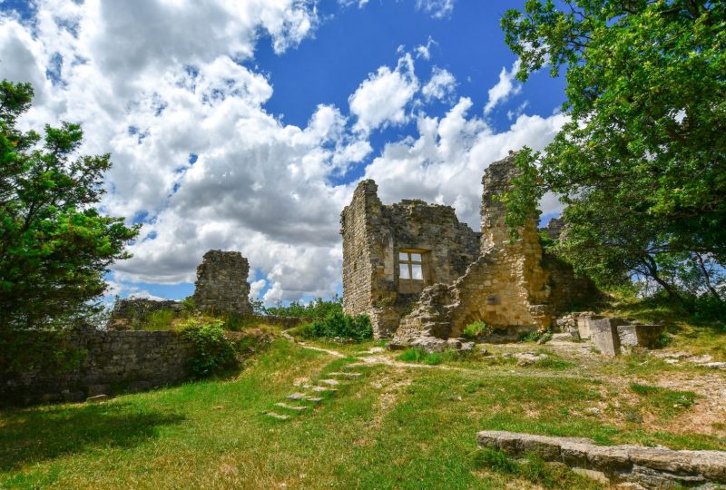
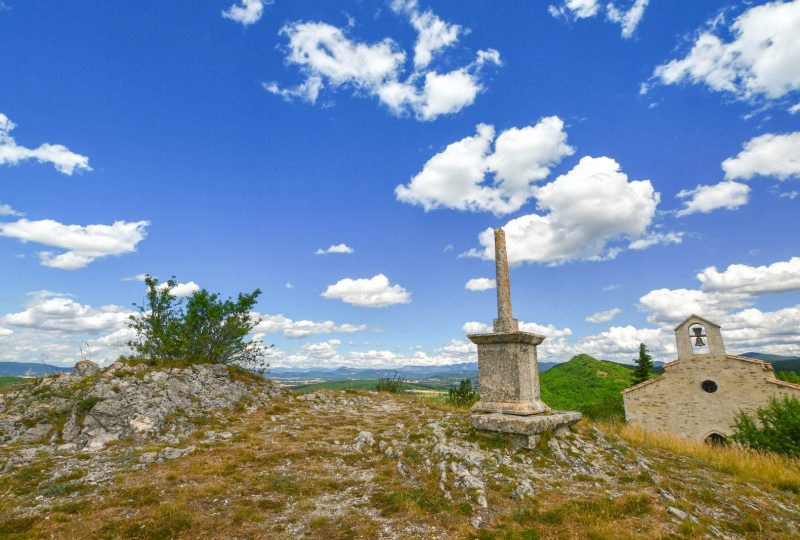
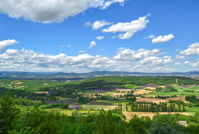
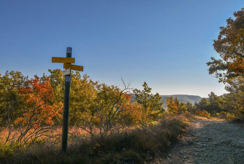
Discover the surroundings of the Citelles valley: from the medieval site to the Janeston. Janeston means a place with mediterranean plants.
Description
Starting point at the medieval castle.
Descend on the left of the graveyard. Turn right at the junction "Château de Rochefort". The path descends at the bottom of the valley. Turn right on the road, cross the bridge and take the path at the right of the house.
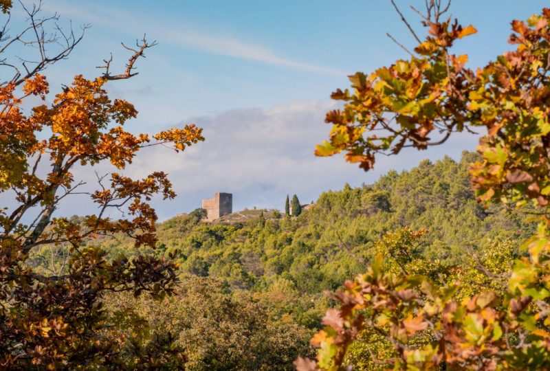
Walk alongside the house then turn left. Viewpoint on the castle.
Pursue on the left, heading towards Moulin neuf. The path crosses mediteranean cultures. Descends on the forest path for 100 metres then turn right at the bottom of the thalweg.
Walk up the path and join the forest path on the left. Crosses the road and the bridge, then turn right on the small road called Chemin du Moulin Neuf.
After La Verrière house, leave the house in the headpin turn and follow the path that climbs in the bottom of the small valley. The path widens between cultivation. Turn left at the junction.
Join the road and turn right. Take Chemin de la Combe. Turn right on the track just before the first houses. The path climbs and join the first junction. Go back to the starting point.
Spoken languages
- French
Labels and ranking
- Open air
Activities
- Pedestrian sports
- Hiking itinerary
Visit
Individual tour
- Average Duration of the individual tour: 170 minutes
Rate
Situation
To see the spot on the map, you can fly over the altitude difference below.

